
Water Resources
Water fit to drink in Azerbaijan territory with limited reserve is distributed unequally. Presently surface water sources of the country are constituted 27 km3, but this reserve is reduced up to 20-21 km3 in dry years.70-72 % of potable water sources of our country are formed abroad. Surface water sources resources from rivers, lakes, reservoirs and glaciers.
19,0-20,6 km3 surface resources of Azerbaijan is formed owning to trans boundary, 9,5-10 km3 is formed owning to domestic origin. Annual water source of rivers spilling to the Caspian except Samur River sea is 2,2-2,5 km3 , rivers flow from north-east slope of Great Caucasus constitutes 1 -1,1 km3 of this and from Lankaran natural province constitutes 1,2-1,4 km3 . Total water source of right and left branches enters basin of the Kur River is 7,5-7,8 km3.
The main arteries of the Republic Kur and Araz rivers are undergone polluted with chemical elements and compounds, organic matters when enters the country territory. In the boundary lines the coagulation of oil products, phenols, copper, bismuth, Titan, manganese and other elements in water of these rivers is overstep the limits. Degree of pollution in Araz River which enters from Armenia territory is more than the others. Rivers’ water is undergone pollution with different origin.
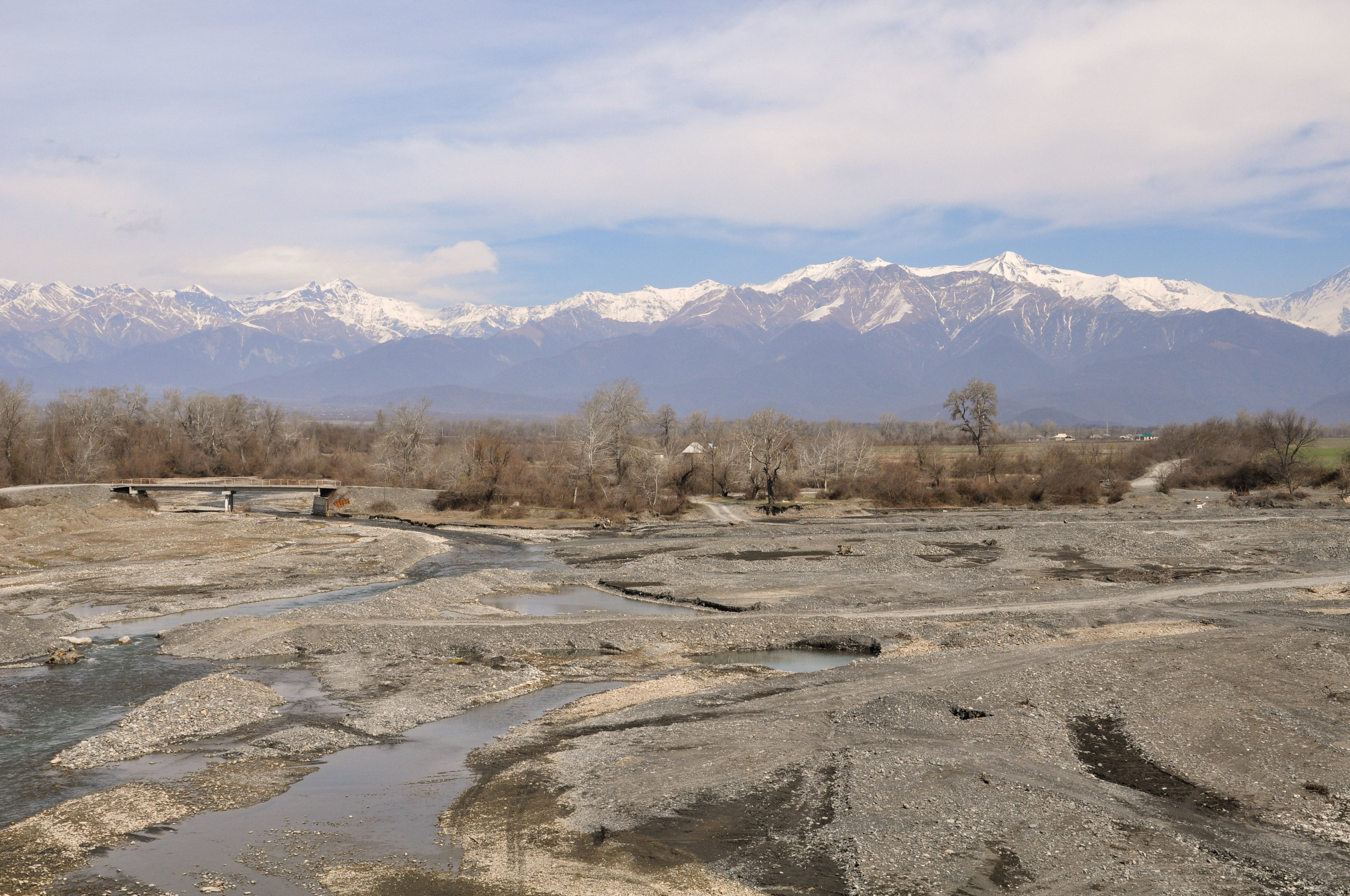
171 rivers of 8359 small and large rivers in the country are more than 25 km. 327 river’s length is less than 25 km, 7861 is less than 10km. According to estimates the average density of river network in Azerbaijan is 0,39 km/km2. The area of the highest density (0,84 km/km2) of river network is Lankaran and the areas of the lowest density (0,20 km/km2) are Jeyranchol and Absheron-Gobustan.
In natural condition general mineral degree of potable rivers’ water being is 0,3-0,5 q/l in the republic. Hydro carbonate and calcium ions have prevalence in chemical structure of rives’ water. But Jeyranchol and Absheron-Gobustan rivers’ water have sulphate natrium chemical composition with much more 0.5-1 q/l the mineral degree.
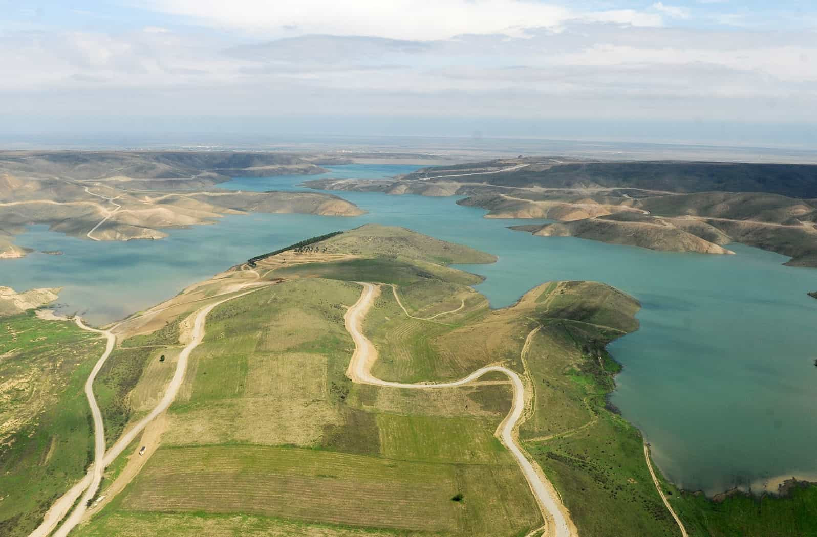
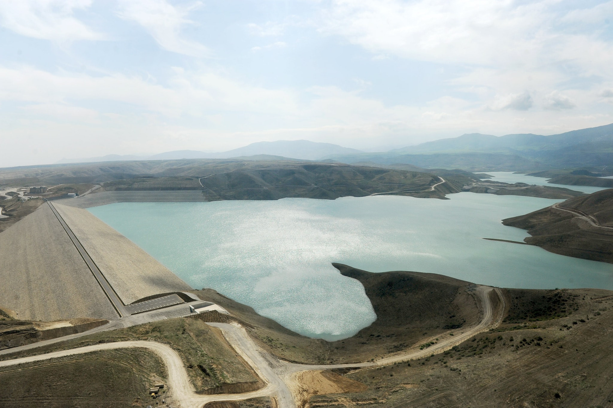
Reservoirs: surface flow of rivers is changed sharply depending on seasons and hydrologic year. Reservoirs are constructed on some rivers with the purpose of reducing the dependence on these changes and getting reliable water sources which is able to use during the year. There are 140 reservoirs in our republic. The largest of them are Mingachevir (V= 16 billion m3) Shamkir (V=2,6 billion m3) Araz (V=1,3 billion m3) Sarsang (V= 0,5 billion m3) on Tartar. Total area of reservoirs is 87 thousand hectare and the capacity of water is 22 km3.
Lakes: there are 450 lakes with a total capacity of 394 km2 in Azerbaijan territory. 200 of them dry in summer months. Totally water source of lakes is about 0,90 km3, source of lakes with potable water is 0,03-0,05 km3.
Glaciers: Glaciers are mainly formed in the areas of Bashsuayrici and Sideway chain territories of the Greater Caucasus with more than 3600-4000 m absolute height. Areas of glaciers are considerable diminished within the last 70 years. Presently areas of glaciers are about 6,6 km2, water source is 0,08 km3. Glaciers around 3,6 km2 areas at the top of Bazarduzu, 1 km2 area at Bazaryurd, 0,5 km2 in Tufandag and 1,1 km2 in Shahdag. But in the Lesser Caucasus only one glacier with the area of 0,15 km2 is existed in Gapicig Mountain. Glaciers play an important role in feeding rivers and regulation of water sources.
Ground water: reserve of annual exploitation of ground water suitable for use is about 9 billion km3. Main sources of underground water are collected in Samur-Devechi, Shaki-Zagatala, Ganja-Gazakh, Mil-Garabag, Jabrayil and Nakhchivan foothills plains. About 60% of these sources are located in Samur-Devechi, Shaki-Zagatala, Ganja-Gazakh foothills plains. Having prevalence of higher permeable to water in geological cut of the gravel and sandy rocks, developing of the river network, majority of the rainfalls are suitable for feeding underground water in this area. Among the foothills, the Ceyranchol and Acinohur plains are characterized by very limited groundwater resources and relatively high mineralization rates. Shamakhi-Gobustan area is slightly different.
In the mountainous parts of the Greater and Lesser Caucasus and Talysh, high-quality groundwater appear as springs due to tectonic fractures. The consumption of springs found in slopes and valleys usually ranges between 5-10 liters / second. Groundwater of 40-60 thousand cubic meters per day is also prevalent in the bedrock of mountain rivers.
Despite being the poorest country in the South Caucasus due to limited water resources and fresh water resources, Azerbaijan is ahead of many countries in the world for the amount of water per capita.